For best zoom/magnification control, please download maps to your computer. See enlarged map snips below the Sources section.
Historic Maps
- 1834 Illinois Plats Jefferson Township – Source : Illinois Digital Archives
- 1851 Rees County Map – Source: Library of Congress
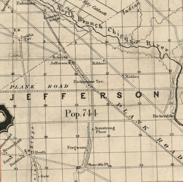
- 1861 Cook County Map – Source: Library of Congress
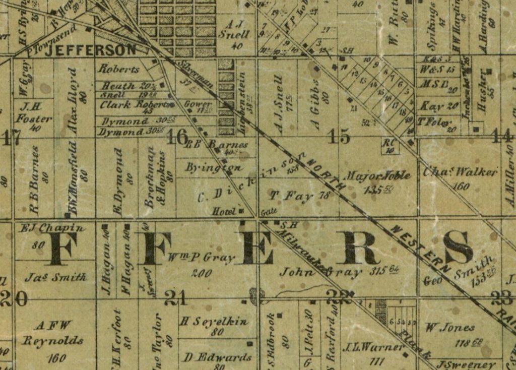
- 1889 Rufus Blanchard Real Estate Map – Source: Univ. of Chicago
- 1890 Snyder Real Estate Map – Source: Library of Congress
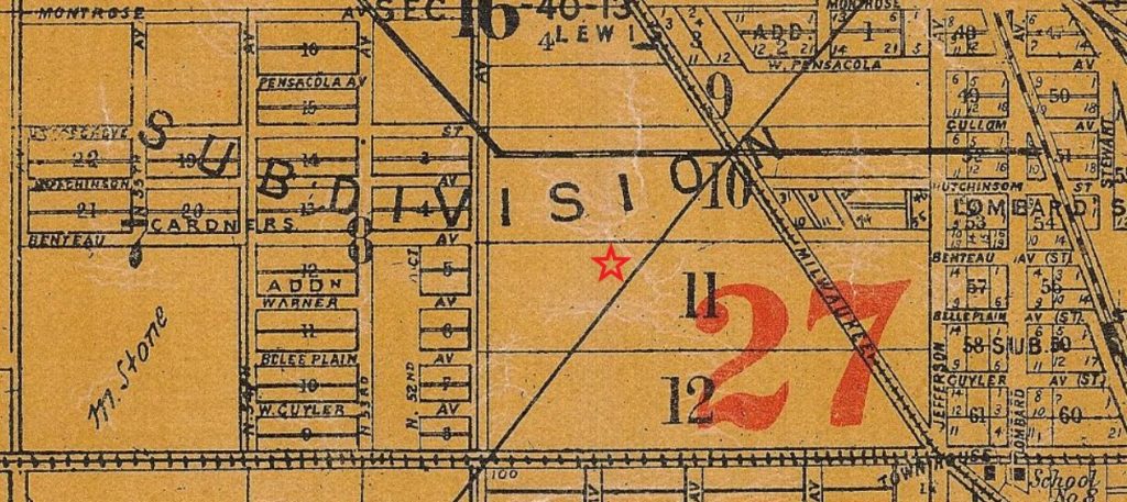
- 1903 Mitchell’s Real Estate Map of Chicago and Suburbs – Source: Univ. of Chicago
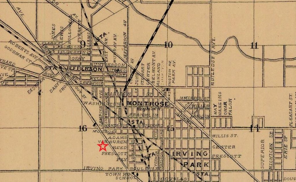
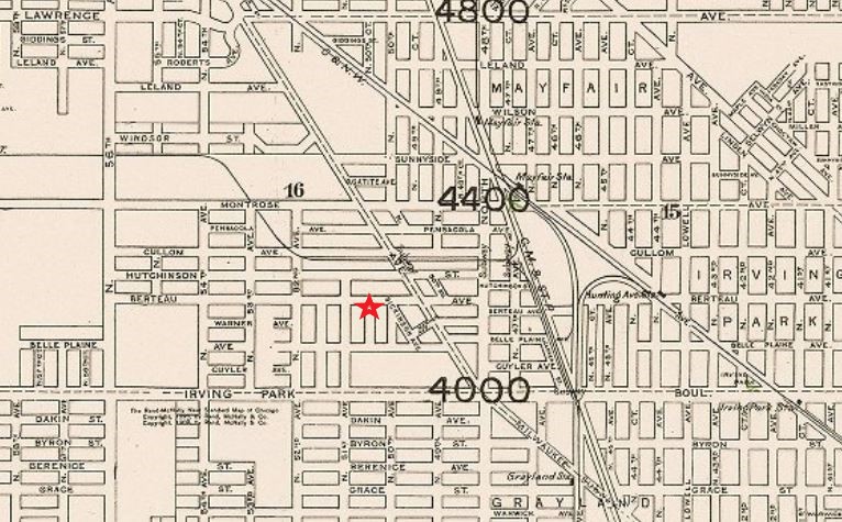
- 1910 Rand McNally Standard Map of Chicago – Source: Univ. of Chicago
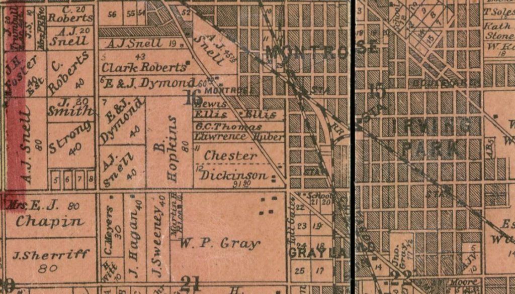
- 1911 Chicago Annexation Map – Source: Univ. of Chicago
Sanborn Fire Insurance Maps
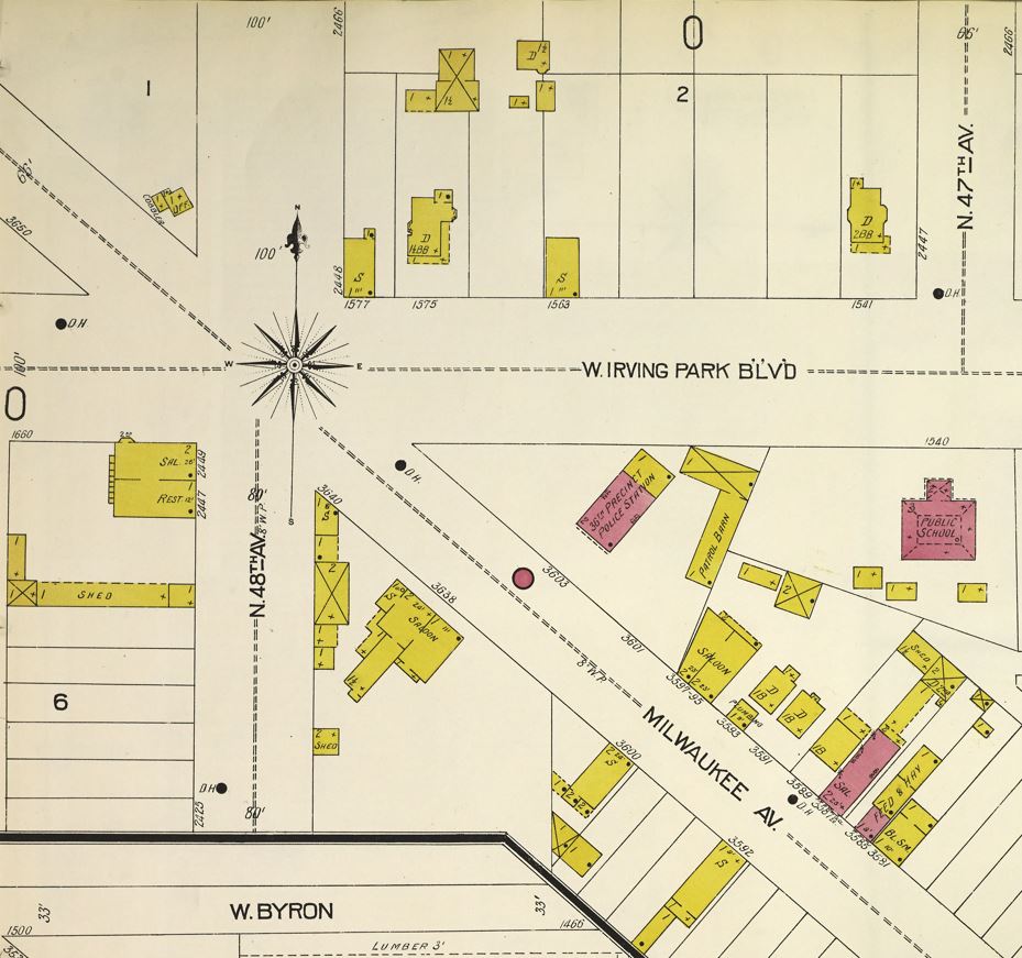
- Sanborn Fire Insurance Maps, 1924 Old Portage Park – Source: Chicago Public Library
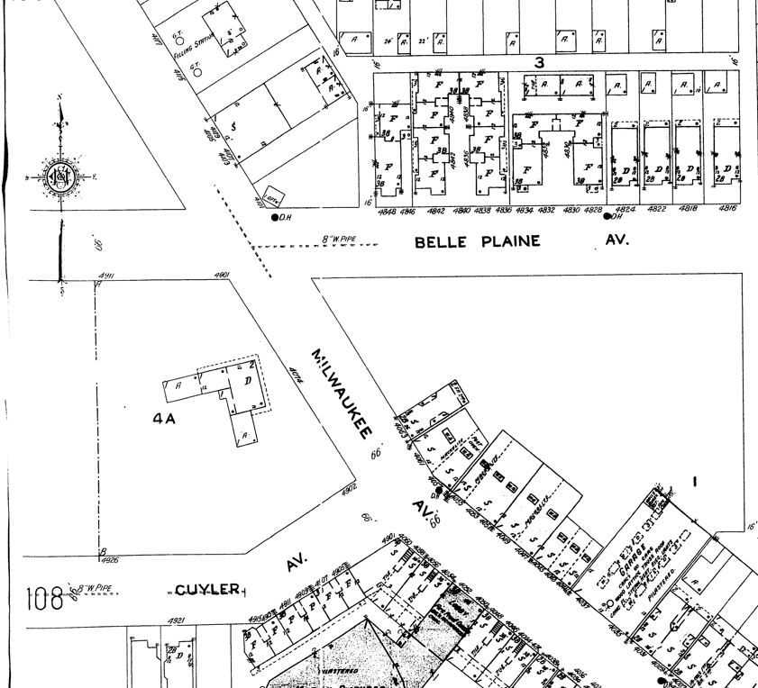
- Sanborn Map – 1905 Six Corners, prior to the 1909 street renumbering – Source: Chicago Public Library
Other
Aerial Photo of Portage Park/Six Corners, 1938-1939 – Source: Illinois Geospatial Data Clearinghouse, Univ. of Illinois
Sources
- Library of Congress
- University of Chicago Library Map Collection
- Chicago Public Library Sanborn Maps Index
- Illinois Digital Archives
- Illinois Geospatial Data Clearinghouse, Univ. of Illinois
Chronological Map Snips with comments